
ML for wind analytics, built by listening to Mother Nature
Downstream is building hyperlocal resolution for wind risk modeling, with susceptibility estimates that account for surroundings.
Scroll down to learn what we’re building
When a hurricane arrives, the land surface varies the winds
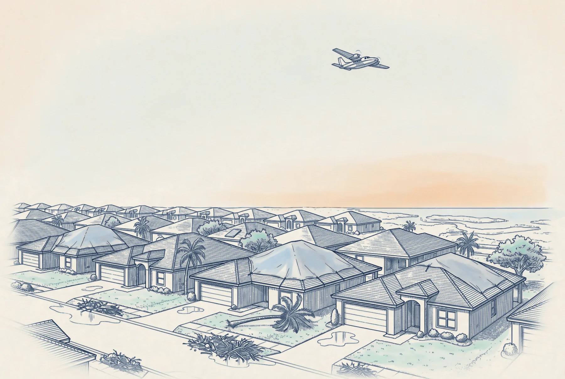
Imagine a hurricane making landfall, bringing gusts of 112 mph offshore. Once those winds reach land, they are slowed by the drag of buildings and vegetation. By the far side of town, gusts have lost much of their speed.
What current catastrophe models capture1
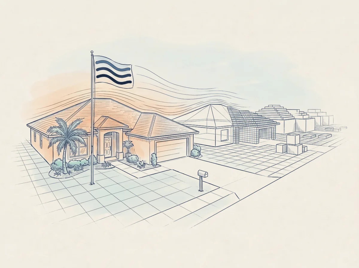
At the scale of 1 km, the details of wind are lost. The bay, the canal, the beach, and open fields all meld into a rough estimate for the entire neighborhood.
Downstream: Modeling the wind at each house
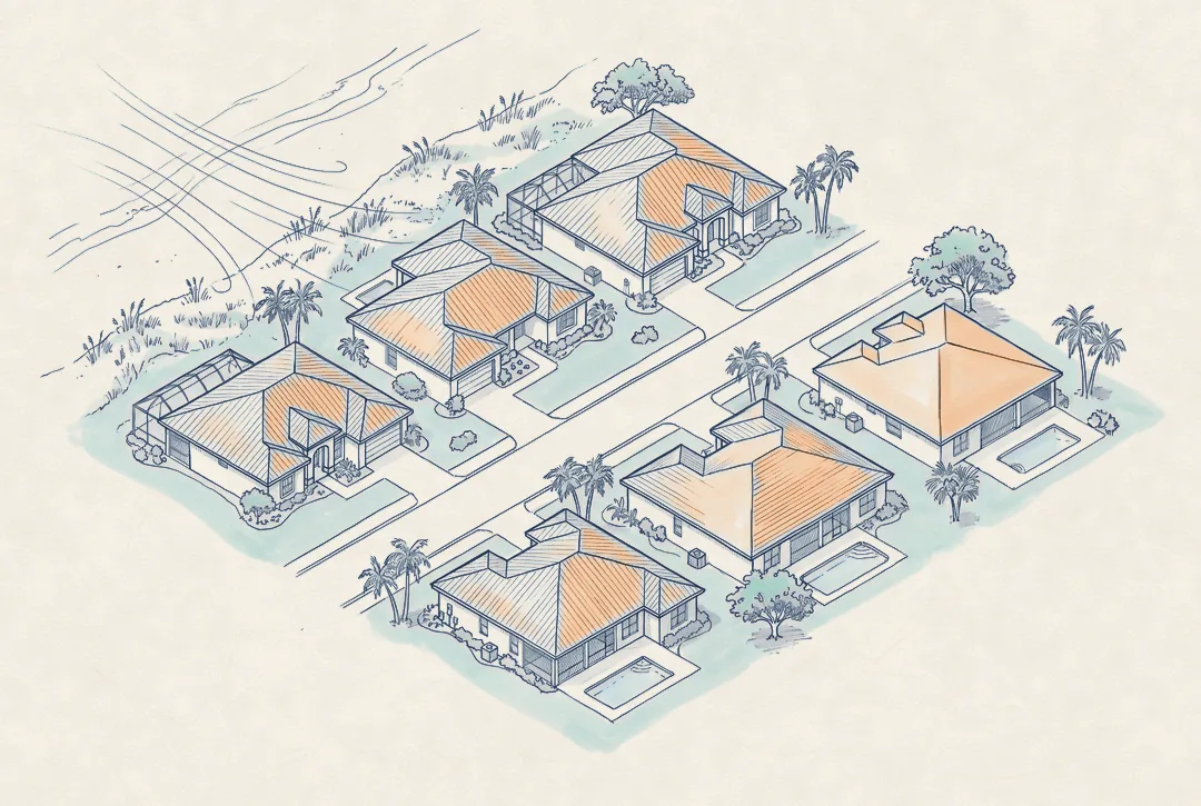
Gusts reach A straight off the ocean, and B only after rows of roofs and trees. Downstream is capturing the difference.

A110mph

B97mphoriginal model: 104 mph for both
The susceptibility modifier we’re building provides a single multiplier per property
You’ll be able to call our API and receive a multiplier that adjusts your existing loss cost to arrive at a more accurate picture of the true risk.
Learn more
-
Our product
One modifier per property, on the loss you already model.
-
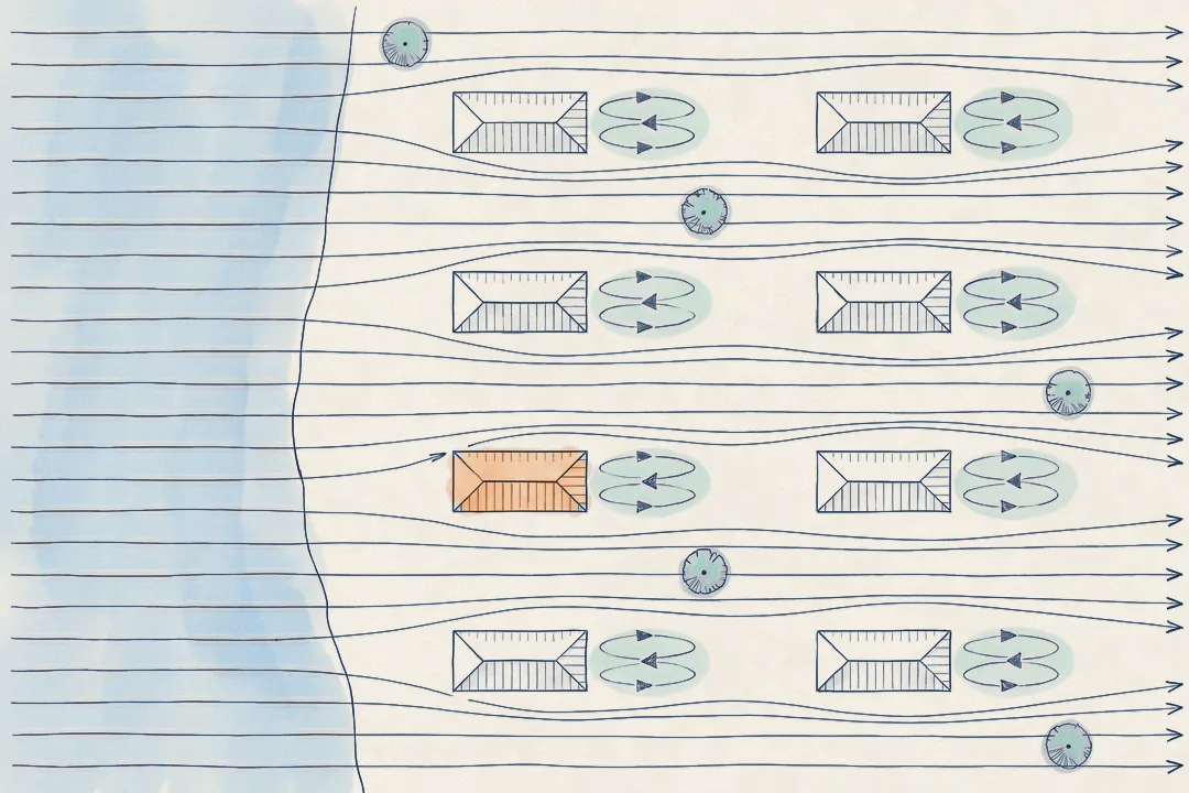
The physics
Gain intuition with our toy model and learn more about the engineering science behind our product.
-
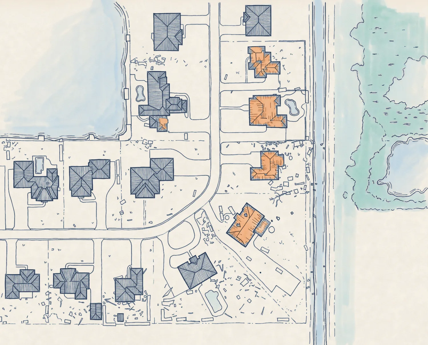
Case studies
Hurricane Laura on one street, and Ian across a landfall.
-
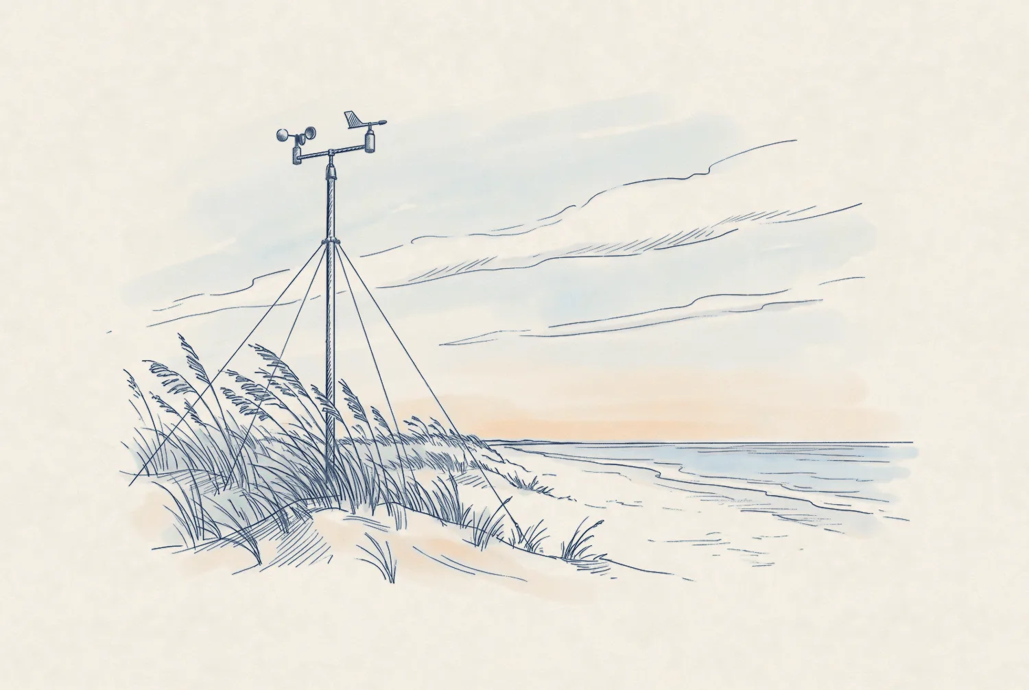
Isaias event analysis
Our free post-event footprint, and how we built it.
-
Research
Before-and-after imagery of 1.3 million properties.
-
Our story
Who we are, and why this is possible now.
Sources
- About 1 km: leading vendor models’ public filings with the Florida Commission on Hurricane Loss Projection Methodology. ↩

Get in touch
We love feedback. If you’re working through interesting problems in wind risk, let’s chat.
Updates by email
Sign up for monthly updates, new research releases, and live event analysis